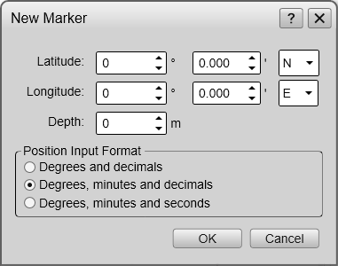
New Marker dialog box
The New Marker dialog box allows you to create a new marker based on the known depth and geographical position of a new target.
How to open
The New Marker dialog box is opened from the New button in the Objects menu.
Description
Use this functionality if you need to create a marker based on geographical information from an external source. You can place markers on for example wrecks, obstacles on the seabed or coral reefs. For each new marker you must provide:
- Longitude
- Latitude
- Depth
- Position Input Format
When the new marker is created, it is automatically assigned a unique identifier (UID) by the ST90 system.